
Public Art Map + Guide
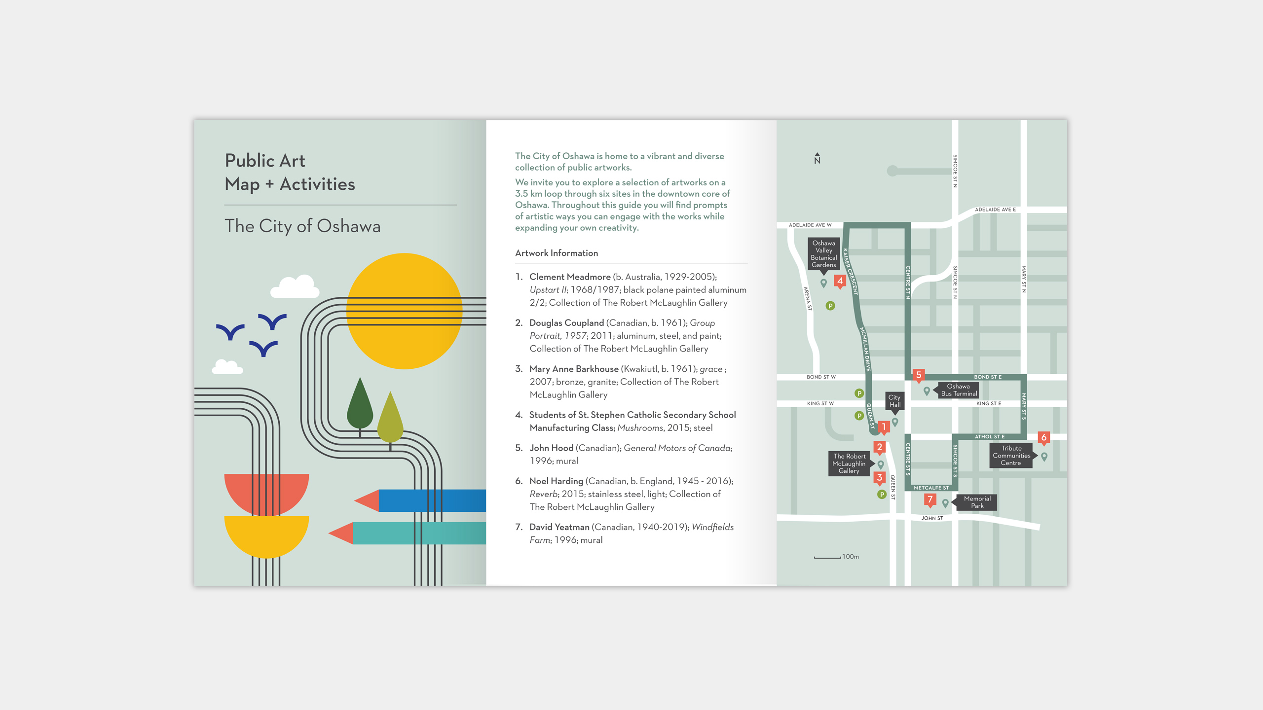
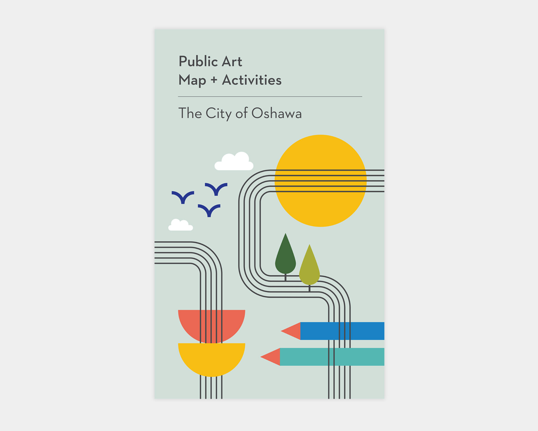
A public art map and guide for the City of Oshawa, highlighting a 3.5 km walking tour of the city’s public art collection. The publication combines photography of the artworks with illustrations and visual elements designed to engage audiences of all ages, creating an accessible guide for exploring public art throughout the community.
Client: City of Oshawa
Project: Public Art Map + Guide